Have a question about our company, looking to collaborate or need a quote?
40 YEARS STRONG
Engenuity Group, announces its 40th Year Anniversary! We would like to thank all of our clients who have allowed us to reach the point that we are at today.
NOW HIRING
Engenuity Group, Inc. is hiring! We are looking for Project Managers preferably with a P.E., or E.I and local experience. Please call or send resumes to bjackson@engenuitygroup.com
IN THE NEWS
The Engenuity Group staff visited the 220,000 square foot Oxygen Development facility, headquartered in the Village of Palm Springs.
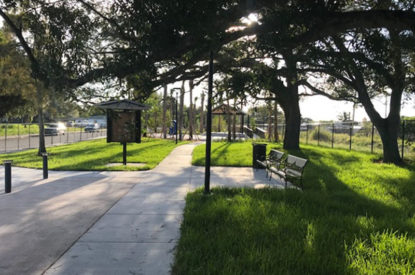
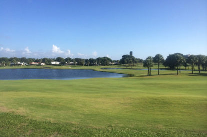
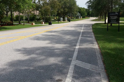
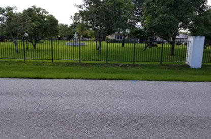
FEATURED PROJECTS